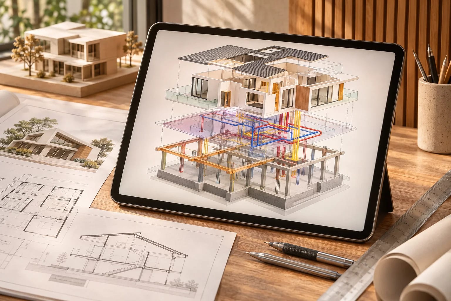
Best 3D Scanning and Scan-to-BIM Tools for Existing Homes

By Hudson GrayLast reviewed
Remodels start with existing conditions, and measuring by hand takes time. 3D scanning tools can turn a phone, tablet or specialized camera scan into a 3D model or measured plan, which saves site visits and reduces mistakes. Here's how the main tools compare and how accurate each approach is.
Our Picks
1. Matterport
Best for: Immersive 3D tours and documentation
A well-known platform for capturing and sharing buildings in immersive 3D.
Watch out: Check how exports and subscriptions work for your deliverables.
Paid plans
2. Polycam
Best for: Quick scans from a phone or tablet
AI-supported 3D scanning, floor plans and reality capture for teams.
Watch out: Check accuracy before relying on it for construction dimensions.
Free entry point and paid plans
3. Twindo (formerly Canvas)
Best for: Scan to CAD for remodelers and designers
From Occipital, a tool built around scan-to-CAD and digital twins.
Watch out: Check device requirements and the CAD format you need.
Check the site for current plans
See Twindo (formerly Canvas) screenshots on the official site
4. Autodesk ReCap
Best for: Processing point clouds for Revit and AutoCAD
Reality capture software within Autodesk's ecosystem.
Watch out: You'll need scan data, and possibly a dedicated scanner, for the best results.
Subscription


How accurate do you need to be?
A phone scan is often fine for planning furniture or a design concept. Structural and tight-fit work usually needs better equipment, or verified field measurements.

Scanning a whole site?
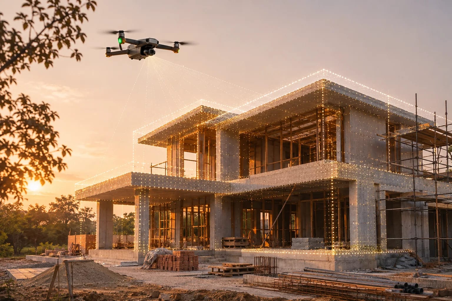
For land and large exteriors, drones and professional survey may be required. Note that commercial drone flights in the U.S. generally require an FAA Part 107 certificate, along with a licensed surveyor for legal boundary or topographic work.
Choosing 3D Scanning Tools by Accuracy
Match the capture method to how precise the result needs to be:
| Method | Typical use |
|---|---|
| Phone or tablet LiDAR app | Room layouts, furniture planning and concepts; refine in floor plan software |
| 360° camera system | Virtual tours and documentation |
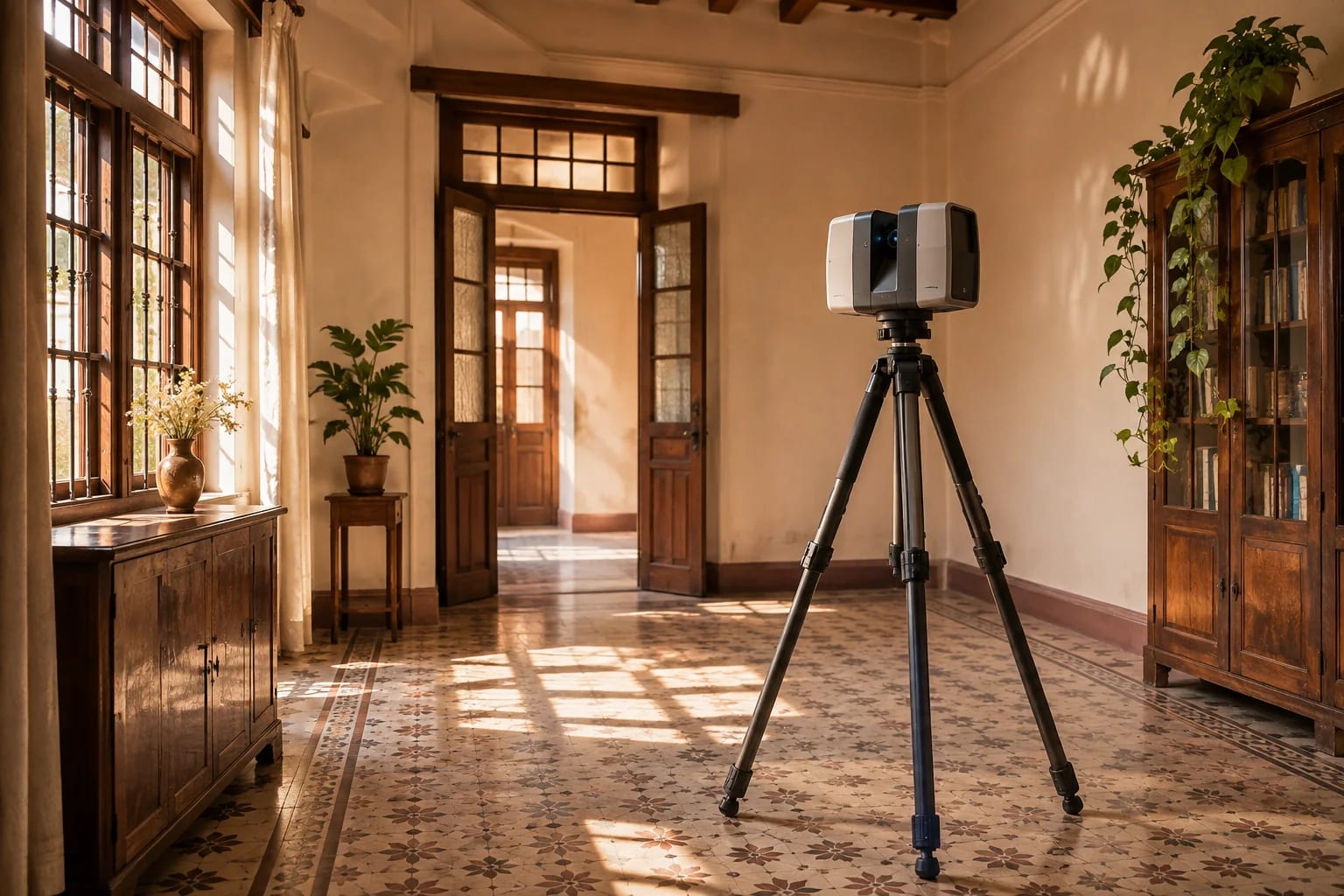
| Terrestrial laser scanner | Detailed as-builts and scan to BIM |
| Drone photogrammetry | Roofs, exteriors and sites; see exterior design software |
Common Questions
What is scan to BIM?
It's the process of converting a laser or photo scan of a real building into a usable BIM model.
Can a phone scan a house accurately?
Modern phones can produce useful results, especially with LiDAR. Check critical dimensions by hand before you order materials.
What is reality capture?
It's the process of recording an existing building or site with scanners, cameras or phones, then turning that data into measurements, 3D models or drawings.
Can scans go straight into Revit?
Point clouds can be brought into tools such as Revit, often after processing in software like Autodesk ReCap. Someone still models the walls and objects from the scan, which is the scan-to-BIM step.
Do I need a license to fly a drone for a site survey?
For commercial work in the U.S., generally yes: the FAA requires a Part 107 remote pilot certificate. Check current FAA rules and any local restrictions before flying.
Capturing Existing Conditions
Pick 3D scanning tools by the accuracy your project needs: a phone app for planning, a laser scanner for detailed as-builts, and drones for roofs and sites. Verify critical dimensions by hand before ordering materials.
Bringing scans into BIM? Compare the main platforms.
Compare BIM softwareHow we made this guide
Order reflects our editorial judgment of fit for the job described, not a measured score. It's based on vendor documentation and public information. We haven't run hands-on benchmarks. We leave out prices because they change often, so please confirm pricing, features and license terms with the vendor. Product names belong to their owners. Suggest a correction or a product, or learn about labeled sponsorships.